


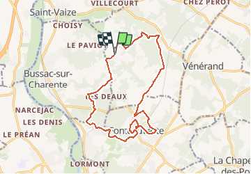

7,2 km | 8,5 km-effort

Gebruiker


Gratisgps-wandelapplicatie
 SityTrail
IGN / Geografische instituten
SityTrail World
De wereld gaat voor u open
Tocht Mountainbike van 16,5 km beschikbaar op Nieuw-Aquitanië, Charente-Maritime, Le Douhet. Deze tocht wordt voorgesteld door tracegps.
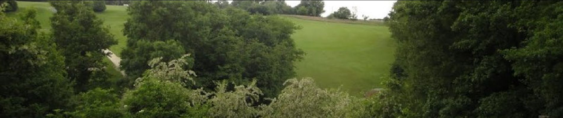
De belles descentes et de grosses montées qui auront raison des plus téméraires. Maîtriser la vitesse en descente et de l'endurance vous seront nécessaire.


Paard

Stappen

Elektrische fiets
Stappen
Stappen

Andere activiteiten
Stappen

Mountainbike

Stappen